 Angela Stefani
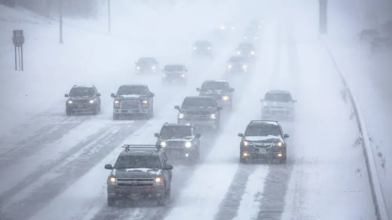
SACRAMENTO, California – A significant winter weather advisory now blankets California's high country, signaling the return of heavy snow and powerful wind gusts expected to impact Interstate 80 drivers and residents this weekend. Forecasters predict up to a foot of snow and damaging winds reaching 50 miles per hour, mandating strict chain rules for vehicles traversing the treacherous mountain passes starting Saturday.
The National Weather Service issued the advisory for elevated regions of the Sierra Nevada, where conditions are expected to deteriorate rapidly. The period of most intense snowfall and wind is anticipated from late Friday night through Saturday evening, making travel exceedingly difficult and perilous for those unprepared.
Accumulations of six to twelve inches of snow are projected above 5,000 feet, with localized higher totals possible at peak elevations. Coupled with the powerful wind gusts, these conditions will drastically reduce visibility, create whiteout scenarios, and contribute to significant snow drifting, further exacerbating the hazards on mountain roadways.
Motorists planning to use the vital I-80 corridor over Donner Pass face substantial delays and potential road closures. Caltrans, the state's transportation agency, has emphasized that chain controls will be rigorously enforced, with requirements varying based on a vehicle's tire type and whether it is two-wheel or four-wheel drive.
Travelers must ensure their vehicles are equipped with appropriate snow tires or carry chains. Non-compliance with chain mandates not only carries hefty fines but also poses severe safety risks, both to individual drivers and to emergency responders attempting to navigate the challenging terrain.
Authorities strongly urge residents and visitors to monitor the latest weather forecasts and road conditions before embarking on any journey through the affected areas. Delaying non-essential travel until after the storm passes is the safest course of action to prevent stranding or accidents.
Emergency preparedness remains paramount. Those who must travel should carry an emergency kit including extra warm clothing, blankets, food, water, a fully charged cell phone, a shovel, and flashlight. Fuel tanks should be kept full to avoid running out of gas in remote areas.
The returning snow is a welcome sight for California's snowpack, a critical component of the state's water supply. However, the immediate impact presents formidable challenges, requiring heightened caution from everyone in the region.
Local law enforcement and search and rescue teams are on standby, ready to respond to potential incidents. Their resources, however, are finite, reinforcing the message that individual responsibility for safety is the first line of defense against severe weather.
As Saturday approaches, all eyes remain on the Sierra Nevada as this significant winter storm is poised to deliver challenging conditions, underscoring the dynamic and sometimes unforgiving nature of mountain weather.