 Chris Robert
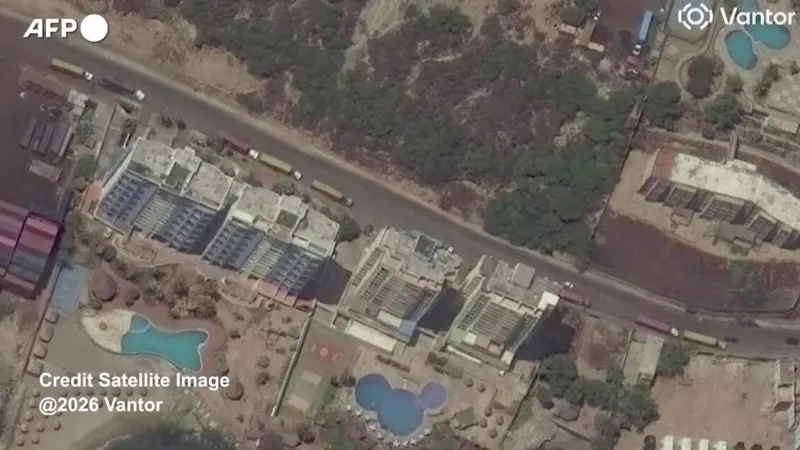
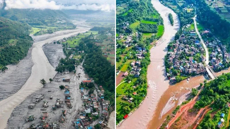
New satellite imagery has laid bare the catastrophic impact of a recent devastating earthquake on Venezuela's northern coastline, providing an unprecedented before-and-after perspective of cities like Macuto and Caraballeda. The powerful seismic event triggered widespread destruction, dramatically reshaping urban landscapes and raising urgent questions about the region's recovery.
The high-resolution visual evidence, meticulously analyzed by geomatics experts, reveals entire blocks of residential and commercial structures reduced to rubble. Infrastructure, including vital roadways and port facilities crucial for coastal communities, appears severely compromised or entirely obliterated in the most affected zones.
Before the temblor, Macuto and Caraballeda were vibrant coastal hubs, known for their picturesque beaches and bustling activity. Satellite comparisons now starkly illustrate the scale of transformation, with previously dense areas showing vast expanses of debris where buildings once stood, indicating a profound loss of life and property.
While official casualty figures continue to be tallied, earlier reports from the adjacent region of La Guaira described the area as a devastated cemetery, hinting at the immense human cost. Rescue operations have faced formidable challenges, navigating unstable rubble and severed supply lines in the desperate search for survivors.
The grim reality of the disaster intensified as preliminary figures indicated the death toll surpassed 1,400, climbing towards 1,500 in the days immediately following the quake. This rising count underscores the magnitude of the catastrophe and the fragility of coastal settlements against such powerful natural forces.
Amidst the widespread despair, stories of miraculous survival offered fleeting moments of hope. Reports detailed the extraordinary rescue of an infant, pulled from the debris after enduring more than 32 hours trapped beneath shattered structures, a testament to the perseverance of search and rescue teams.
A particularly poignant tragedy emerged from the quake zone with news that deported Venezuelans perished in a quake-hit hotel just days after their expulsion from the United States. This incident highlighted the layered vulnerabilities of populations already facing significant hardship and displacement.
International observers and aid workers on the ground described the scenes in La Guaira as an apocalypse, with many confronting unimaginable levels of destruction. The international community grapples with the complexities of delivering extensive relief to a nation already contending with economic and social challenges.
The long-term implications for the affected regions are profound. Rebuilding efforts will require significant international cooperation and sustained resources, a daunting prospect given the existing socio-economic landscape of Venezuela. The displacement of thousands of residents presents an immediate humanitarian crisis.
The deployment of advanced satellite technology proved critical in assessing the extent of damage rapidly, allowing disaster response agencies to identify priority areas for intervention. These high-altitude observations provide invaluable data, guiding ground teams through treacherous terrain and helping to map the full scope of the devastation.
Geologists indicate that Venezuela lies in an active seismic zone, making it susceptible to such powerful tremors. While the precise mechanisms of this particular event are under ongoing study, the region's tectonic plate boundaries frequently experience significant geological activity.
As Venezuela navigates the immediate aftermath, the focus shifts to comprehensive recovery plans and bolstering infrastructure resilience against future seismic events. The catastrophic destruction witnessed by the world through satellite eyes serves as a somber reminder of nature's formidable power and the urgent need for preparedness.